
Unlocking the Silent Language of the Sea
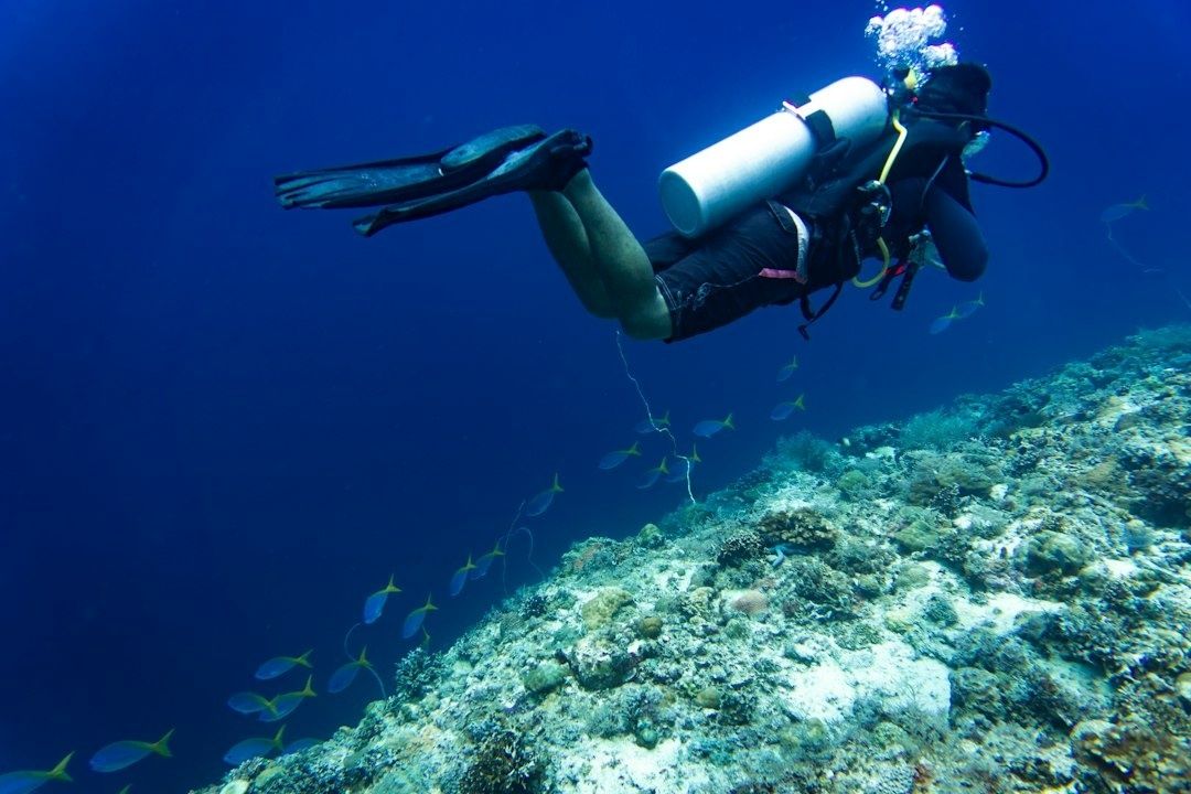
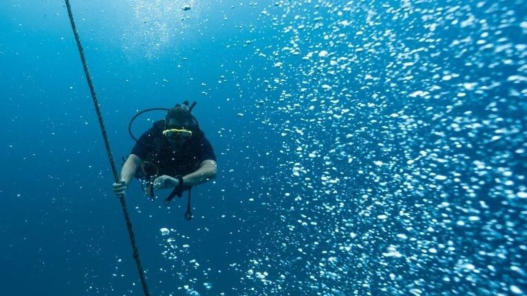
Many recreational divers begin a navigation exercise by looking down at a digital console, checking a magnetic gauge, and trying to remember a heading while also managing buoyancy, breathing gas, depth, time, and a buddy. Instruments are essential, but constant gauge-checking can narrow attention until the reef becomes little more than a background. A more capable approach is to use the instruments as a reliable framework while learning to notice what the seafloor, light, water movement, and marine life are already communicating.
Natural wayfinding turns navigation from a task loaded with small anxieties into a calm practice of observation. The goal is not to replace a compass, particularly in poor visibility, strong current, or an overhead environment. It is to build a richer mental map, so that a compass heading confirms what the water is telling you rather than serving as the only source of information. Like a seasoned island waterman reading wind and tide before leaving a dock, a diver can learn to recognize patterns that make the coastline feel present even when it is out of sight. For broader background, begin with these classical principles of underwater navigation.
Decoding the Seafloor Across Sandy Corridors
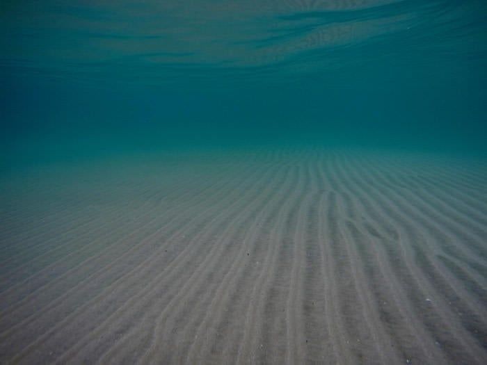
Sand is a quiet record of moving water. As waves pass over shallow seabeds, their orbital motion creates alternating near-bottom currents. When the flow becomes strong enough to move grains, small irregularities grow into ridges and troughs. Water accelerates over a ripple crest, slows on the downstream side, and may leave sediment in the lee. Repeated cycles produce familiar patterns that can help establish the coastline”s orientation.
Wave-generated ripples are often relatively symmetrical and arranged broadly parallel to the beach because the water movement reverses direction with each wave cycle. Current ripples, by contrast, tend to be more asymmetric. They have a gentler stoss side facing the incoming flow and a steeper lee side where grains settle, while the entire pattern may migrate in the direction of the current. Grain size, water depth, obstacles, biological growth, and reflected waves can complicate the picture, so ripples should be treated as evidence rather than an absolute rule.
Before using a sandy corridor as a navigational reference, pause long enough to study several metres of seabed rather than one isolated ridge. Confirm the pattern against depth, reef position, light direction, and any known entry landmark. A simple mental checklist helps:
- Look for long, consistent ripple lines rather than disturbed patches around rocks or fins.
- Decide whether the ripples are broadly symmetrical, suggesting oscillating wave motion, or sharply sloped, suggesting a more directional current.
- Compare their alignment with the visible shoreline, surface swell, and the direction of suspended particles.
- Note whether the pattern remains consistent as you travel, since local eddies can bend or interrupt sediment lines.
- Confirm your interpretation with a compass before committing to a long return leg.
Sand can also reveal a change in conditions. A line of coarser grains, shell fragments, or settled debris may mark a boundary where flow loses energy. A smoother area may indicate finer sediment or shelter behind a reef feature. These clues are especially useful when returning along a route, because a diver can recognize not only direction but also the sequence of seabed textures. Navigation training resources, including guidance from DAN on advanced underwater navigation, emphasize that memorable checkpoints and continuous awareness are safer than trying to reconstruct an entire route after becoming uncertain.
Spur and Groove Formations as Natural Highways
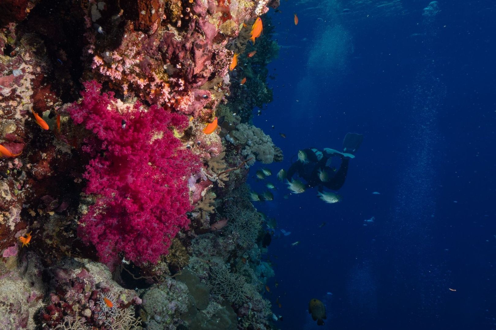
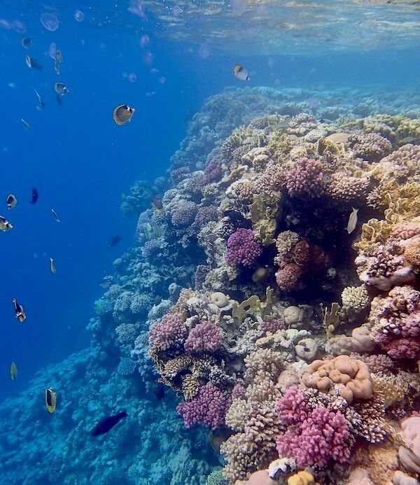
On many tropical reefs, alternating coral ridges and sandy channels form a pattern known as spur and groove terrain. The grooves are not simply convenient swim lanes. They reflect the way wave energy and reef growth interact. Coral buttresses commonly develop perpendicular to prevailing swell, while the lower grooves allow water and sediment to move shoreward and seaward. The result is a series of natural corridors that often remain recognizable across a broad section of reef.
For a diver, the most valuable feature is consistency. Following a groove toward deeper blue water may lead offshore, while reversing direction may carry the diver toward shallower reef, a lagoon, or the coastline. The exact meaning depends on the site, and some channels curve, split, or terminate at patch reefs. Before leaving a descent point, inspect the groove”s width, depth, coral profile, and relationship to the nearest drop-off. A quick compass bearing provides a useful reference, while the reef architecture supplies confirmation at regular intervals.
These structures also explain why reef navigation and reef conservation are closely connected. Complex hard-coral formations create shelter, feeding surfaces, and nursery habitat for many organisms. The Coral Reefs information from NOAA describes how structural complexity supports biodiversity and how Florida”s reef system includes extensive spur-and-groove formations. Divers should remain neutrally buoyant, avoid resting on coral, and use sandy grooves for positioning whenever possible.
| Seabed cue | Likely directional meaning | Practical use |
|---|---|---|
| Parallel, symmetrical sand ripples | Broad coastline orientation | Use as a cross-check for a shore-parallel heading |
| Asymmetric ripples with a steep lee side | Directional current or sediment transport | Identify flow direction, then verify with a compass |
| Long sandy groove between coral spurs | Often an inshore or offshore corridor | Follow the feature while monitoring depth and current |
| Increasing coral relief and blue-water exposure | Possible approach to an outer reef or drop-off | Pause, check depth, and confirm the planned route |
| Flattening reef and lighter sandy bottom | Possible movement toward a shallow area | Use as a return checkpoint, not as a guarantee of shore position |
Navigating by Sun Angle and Ambient Light Patterns
Sunlight remains useful underwater, although it is softened, scattered, and easily distorted by surface conditions. In clear water, the brightest portion of the surface often indicates the direction of the sun, while a shifting patch of shimmer can reveal the general azimuth above. Light loses intensity with depth, and cloud cover can turn a sharp beam into a broad glow, so this method works best as a supporting clue rather than a precise bearing.
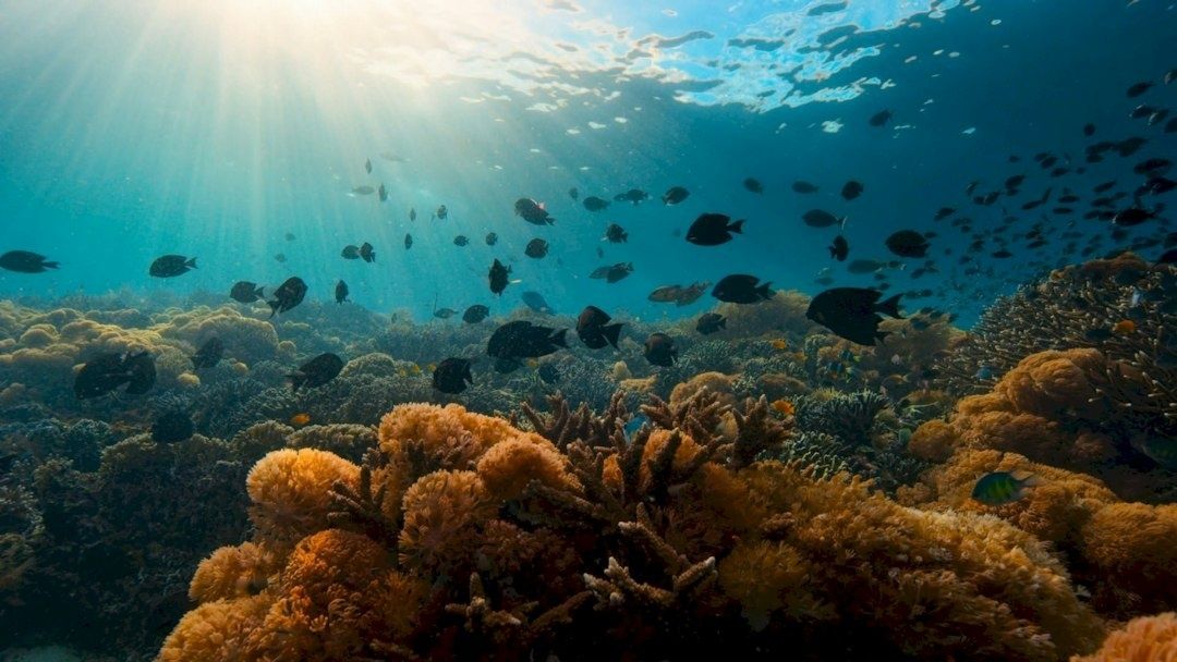
Reef walls and drop-offs make changing light especially noticeable. During one part of the day, a wall may cast a broad shadow across a groove; later, the illuminated side may switch as the sun moves. Clouds and low visibility reduce contrast, but they do not erase every pattern. Learn the site”s light and shadow arrangement during the descent, then compare it with the view on the return. Use a compass whenever the interpretation becomes uncertain.
- At the descent point, note the brightest surface direction and the shaded side of nearby reef structures.
- Choose a fixed feature, such as a wall edge, isolated coral head, or sand channel, and record how the light falls across it.
- Reassess the pattern after moving deeper or farther along the reef, since depth and cloud cover can change the appearance.
- Use the sun as a broad orientation cue, then confirm the intended return heading with a compass and your buddy.
Reading Surge Swell and Marine Life Sentinels
Surge is a subtle back-and-forth movement caused by passing waves, and it can provide a physical sense of the shoreline”s direction. In shallow reef areas, the water may push toward land and draw back again with a rhythm that is more noticeable against coral outcrops or sandy channels. The movement is not always a simple arrow. Headlands, reef walls, channels, and submarine contours can refract or redirect wave energy, so surge should be interpreted across several moments rather than from one brief tug.
Pause in a protected position, keep the body streamlined, and notice whether the water”s displacement is predominantly across your route or along it. If the push becomes stronger in one direction as the reef shallows, that may suggest greater exposure toward the open coast. In deeper water, however, wave motion may become weaker or more complex. Strong surge can also increase exertion and air consumption, so it is a reason to simplify the route, maintain good trim, and avoid fighting the water unnecessarily.
Marine life offers another set of useful, though imperfect, indicators. Planktivorous fish often face into feeding currents so that drifting food passes toward them. A school holding a consistent orientation may therefore act like a living wind vane, especially where the current is steady. Soft corals can show flow as their branches or fronds bend, while suspended particles reveal the same movement more visibly. These signs are valuable because they combine environmental information with the reef”s living response.
- Look for several fish species showing the same orientation, not just one startled individual.
- Observe whether soft corals bend steadily or pulse back and forth with surge.
- Compare fish posture with drifting particles and the movement of your own bubbles.
- Treat behavior as a current clue, not a guaranteed compass direction, particularly near eddies and reef corners.
- Keep wildlife at a respectful distance and never touch, chase, or disturb animals to test a theory.
The broader lesson is watermanship: preparation, humility, patience, and calm observation matter as much as physical ability. Limited visibility, strong current, or task loading can produce disorientation and panic, which is why natural navigation should be practiced under benign conditions and supported by proper training. In caves, wrecks, ice, or other overhead environments, natural clues do not replace specialized procedures, continuous lines, and strict gas management.
Trusting Your Senses on Your Next Dive
Natural navigation becomes dependable when it is layered with disciplined instrument use. A compass remains the backup and the final check, while sand ripples, reef architecture, light, surge, and marine life create a continuous stream of confirmation. Over time, the diver stops treating each clue as a puzzle and begins recognizing the character of a site almost automatically.
That shift is psychological as well as practical. Instead of repeatedly wondering whether the route is still correct, the diver can observe the reef, conserve attention, and remain more relaxed with the buddy team. Calm navigation supports buoyancy, breathing efficiency, and better decisions. Begin with a modest exercise on the next suitable dive:
- Before descending, study the planned route, expected current, depth changes, and one or two natural checkpoints.
- At the bottom, identify the dominant seabed pattern and take a compass bearing for the first leg.
- During the swim, compare the reef structure, light direction, surge, and marine life behavior with that bearing.
- At the midpoint, pause in a stable position and describe the route to the buddy using visible features rather than numbers alone.
- On the return, allow the natural clues to suggest the direction, then verify the result with the compass before surfacing.
With repetition, the reef becomes less like an unfamiliar landscape and more like a readable coastal chart. The reward is not independence from equipment, but a deeper partnership between instruments, judgment, and the sea itself.